

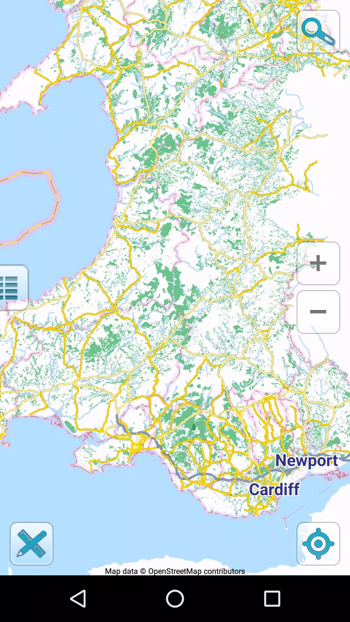



Map of Wales offline puts detailed, high-resolution maps of Wales on your device so you can navigate without mobile data or Wi‑Fi, making it an excellent companion for hikers, coastal explorers and anyone travelling rural lanes. The app displays your current position via GPS, shows coordinates and nearby places of interest, and includes offline search and POI lookup so you can find landmarks even when there is no signal. Map of Wales offline is optimized for both phones and tablets, and its simple layout helps you focus on the map when planning a walk, driving a scenic route or checking a bay or mountain pass from the car.
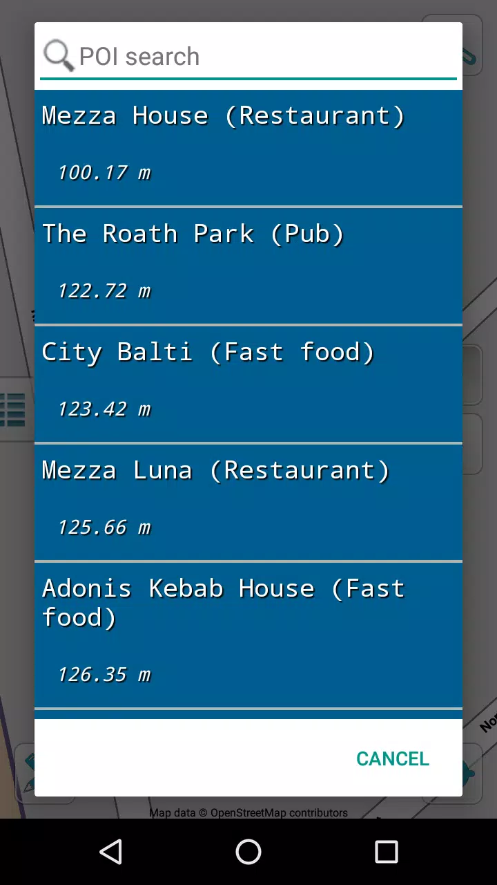
Map of Wales offline provides fully downloadable maps with multiple zoom levels and smooth, high-resolution tiles that remain readable in sunlight and on different screen sizes. Built-in GPS support shows your live position and heading on the map without requiring a network connection, and the coordinate readout is handy when you need to report a location. Offline search and POI search let you lookup towns, campsites, pubs, parking areas and natural features while you’re off the grid, and a simple share function makes it easy to send an exact location by email or SMS to friends, family or rescue services.
The app uses open collaborative mapping data under a Creative Commons license, and map updates are provided as free downloads so the coverage gradually improves as the community contributes corrections and new places. Map of Wales offline also prioritizes compact storage and fast rendering so maps load quickly even on older devices, while free updates keep the information current without an extra subscription.
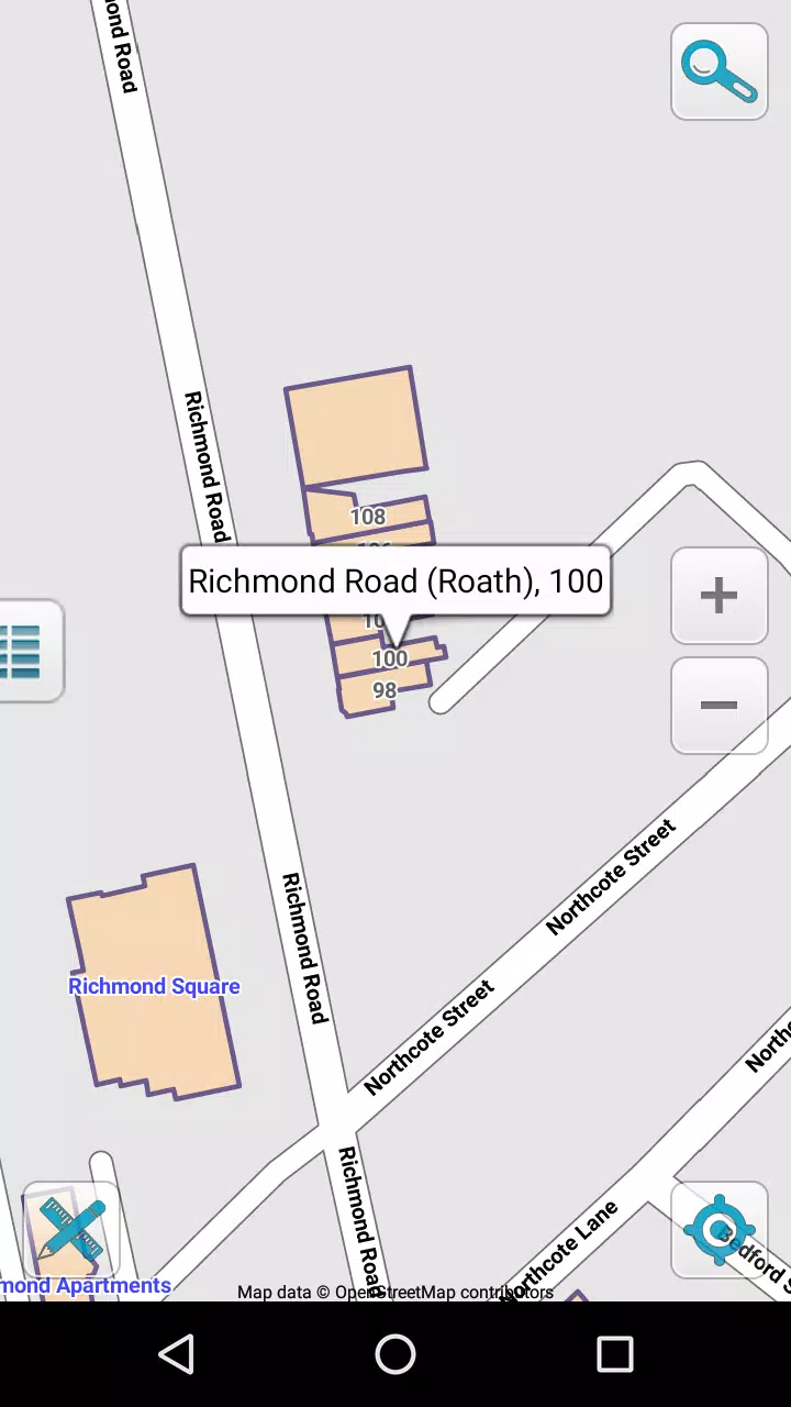
Controls are designed to be familiar and touch-friendly: pinch to zoom, drag to pan, tap to inspect a point of interest and long-press to drop a temporary marker on the map. The search box accepts place names and coordinates, and search results highlight matching POIs directly on the map so you can tap through for details. For navigation tasks you can follow your moving position in real time, lock the map orientation to your heading or allow a north-up view for easy map reading. These interaction options make it straightforward to learn the app quickly whether you’re a casual user or a frequent outdoor visitor.
Offline play is central to the experience: you can download map data to your device before you travel and use it without any cellular connection. The app supports selective downloads so you can cache just the areas you need to save space, and it manages cached tiles intelligently to avoid unnecessary use of storage. Map updates and POI database refreshes are distributed as free updates, allowing the map to improve over time without introducing online-only features. This approach keeps the core functionality usable when you lose signal in mountains, coves or narrow valleys.
The map style emphasizes clarity and legibility, with clear labeling of roads, footpaths, parks and water features so you can quickly interpret what you see on the screen. High-contrast text and variable zoom labels help with readability at different magnifications, and a restrained color palette reduces visual clutter when you’re scanning for routes or points of interest. The interface balances a minimal toolset with quick access to search, sharing and position controls, which helps keep the focus on navigation rather than on complex settings.
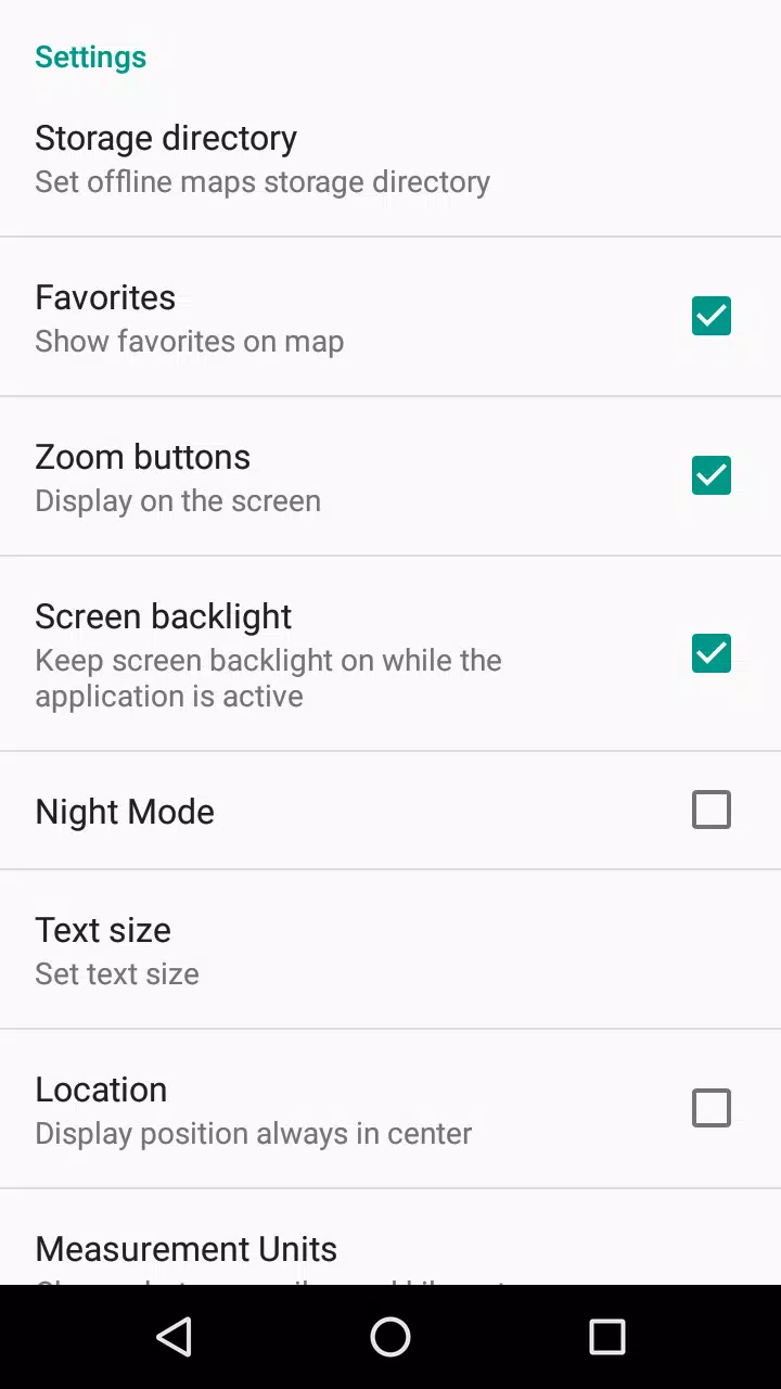
Map of Wales offline aims to be usable across a wide range of Android devices: it adapts tile rendering for lower-end hardware and offers options to limit background GPS updates to conserve battery. The app highlights potential GPS limitations such as poor reception indoors or in deep valleys and advises simple steps—like briefly stepping into open air—to get a good satellite fix. Where screen readers and larger fonts are used, the interface retains clear labels and touch targets to improve accessibility for a broad set of users.
Whether you use Map of Wales offline for a single weekend hike, as a routine tool for coastal photography trips or as a trusted map for longer road tours across Snowdonia and Pembrokeshire, the app offers repeat value by making it easy to rediscover saved places and find new points of interest without needing data. Regular free updates and the ability to cache different areas mean the tool remains useful trip after trip, and the straightforward controls reduce friction so you spend more time exploring and less time configuring settings.
The app focuses exclusively on Wales, so it is not suitable for navigation outside that region. Location functions rely on GPS reception, which can be limited indoors, under heavy foliage or in deep valleys. While Map of Wales offline aims for comprehensive local coverage, some remote paths and newly established amenities may not appear immediately until community updates are incorporated into map releases.