

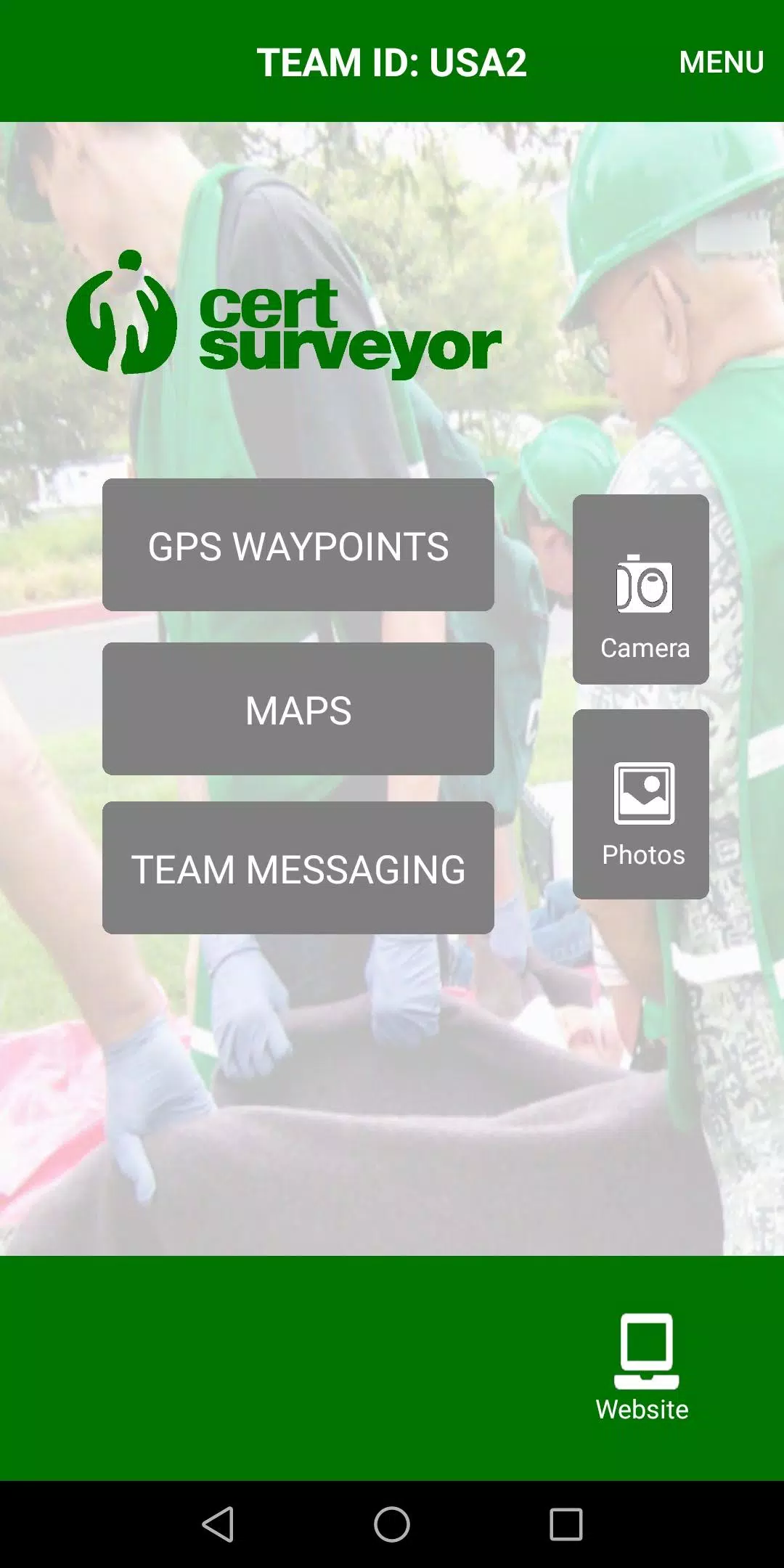
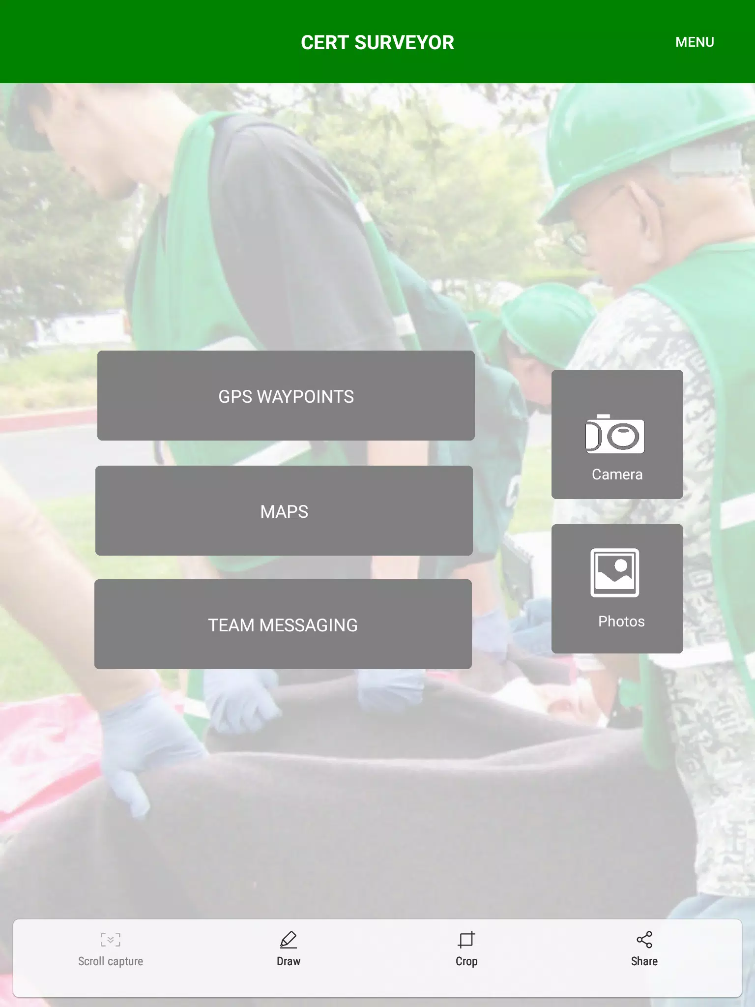
CERT Surveyor is a focused field tool designed for community emergency responders to collect, manage, and share critical location data during search and rescue and other response operations. CERT Surveyor places familiar map icons and clear tracking controls at your fingertips so teams can place waypoints, record routes, and review situational information without unnecessary complexity. The app balances a lightweight mobile footprint with features responders expect in the field: adjustable tracking cadence, PDF map overlays, secure data uploads, and standard export formats for GIS analysis.
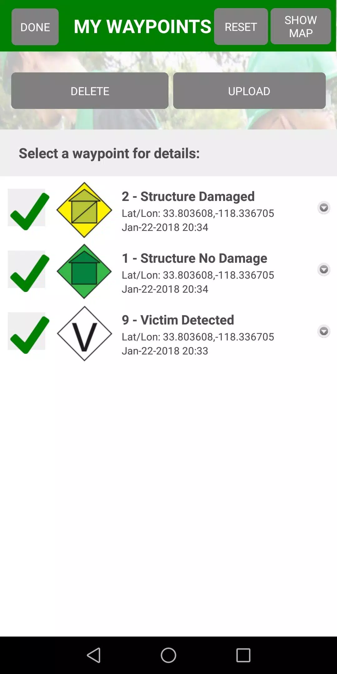
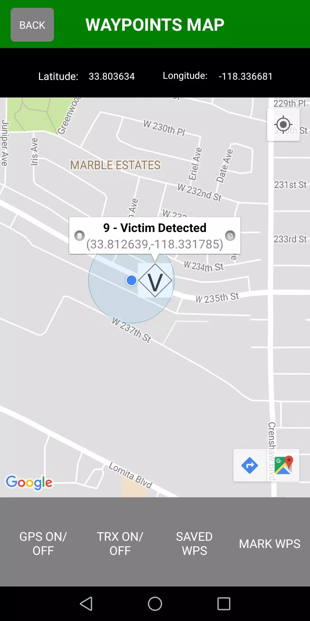
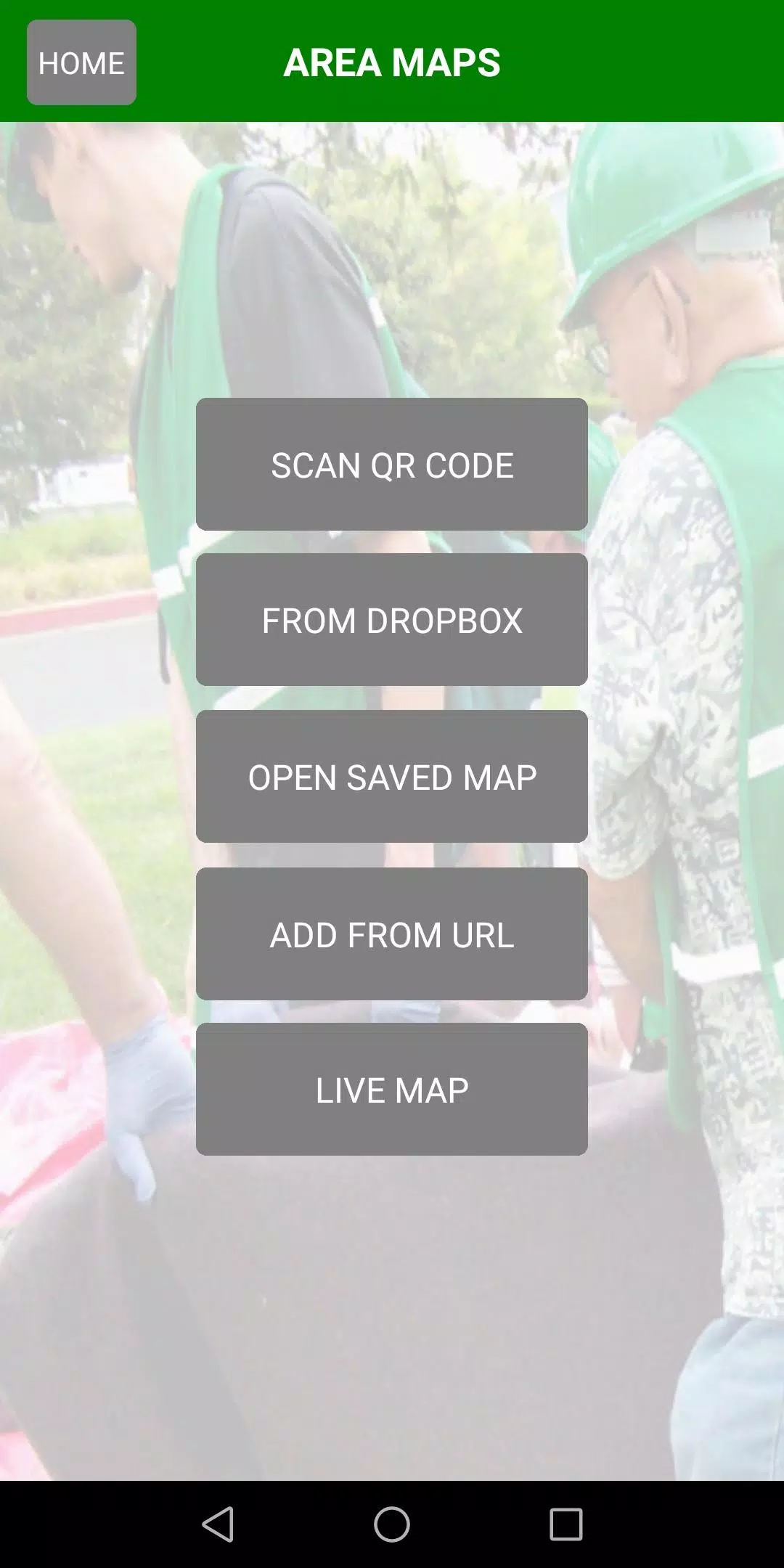
The core capabilities of CERT Surveyor are presented in a straightforward map interface that uses FEMA CERT icons for quick recognition of incident elements. Drop waypoints with a single tap, add notes or photos to a point, and create continuous tracks that record your movement at configurable intervals or distance deltas. You can import existing PDF maps or reference imagery to work from pre-printed operational charts, and the app generates live map views that reflect current team activity and custom waypoint icon sets. Data can be securely uploaded to a companion online account for centralized review, and exports in KML or GPX let you bring collected files into common GIS or mapping software for after-action review and reporting.
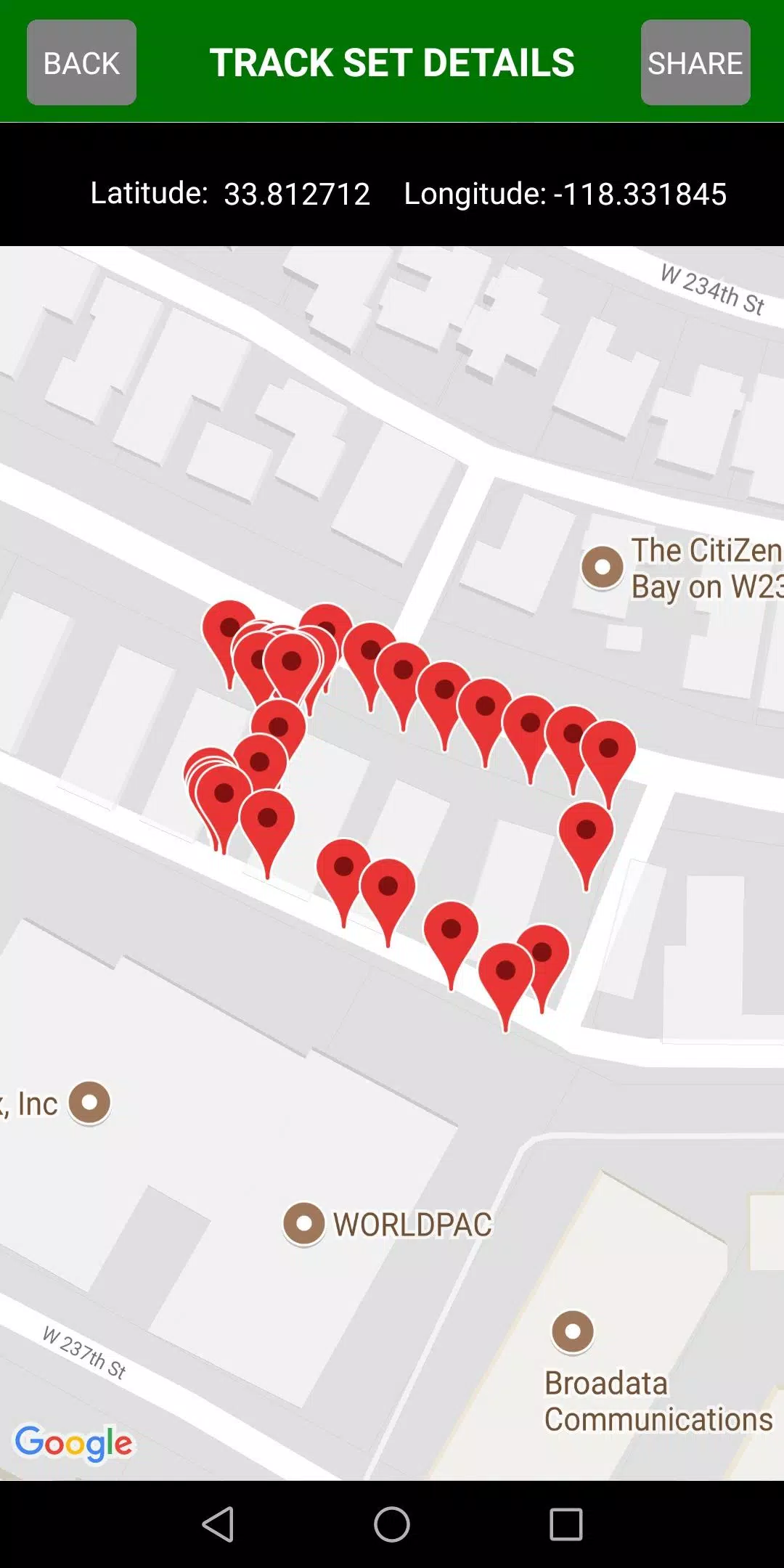
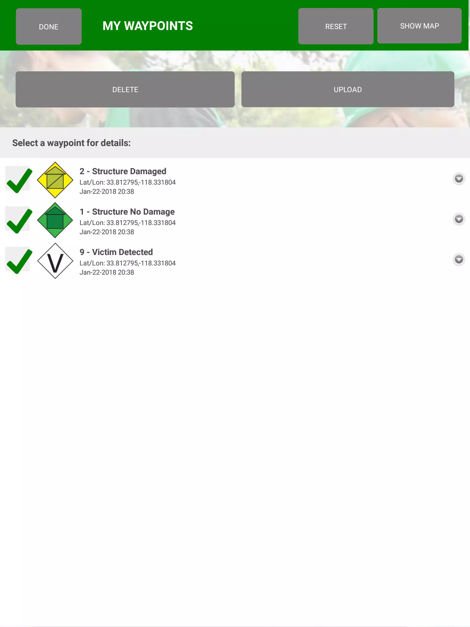
CERT Surveyor is built around simple, repeatable workflows that mirror how teams operate on a mission. Start a new mission project, load an incident map or aerial imagery, and choose a tracking profile optimized for the terrain and desired battery use. Team members can record tracks and drop waypoints while working independently; each record stores timestamps, optional photos, and short notes to preserve context. When connectivity is available, collected records are queued for upload to the central account. For post-incident analysis, exported KML or GPX files preserve geometry and metadata so planners can replay routes, measure coverage, and integrate findings with desktop GIS tools.
The app emphasizes touch-driven controls: tap to add or edit waypoints, drag to pan the map, and pinch to zoom for context. Icons are large and easily distinguishable in bright or low-light conditions, and the interface supports custom icon sets and labels so teams can adapt symbolism to local SOPs. Tracking intervals are adjustable from short, frequent samples for detailed route reconstruction to sparse samples that conserve power. Map layers can be toggled on and off, and PDF overlays snap to coordinate grids so reference maps align with live GPS positions.
While CERT Surveyor is intentionally lightweight, it supports role-aware workflows: field operators focus on data capture, while supervisors and analysts use centralized uploads and exported files to build reports and track coverage over time. The Team Leader Edition expands monitoring capabilities so managers can view team activity under a shared team code during an incident. That progression from individual data collection to team-level situational awareness helps units mature their mapping and reporting processes across exercises and real events.
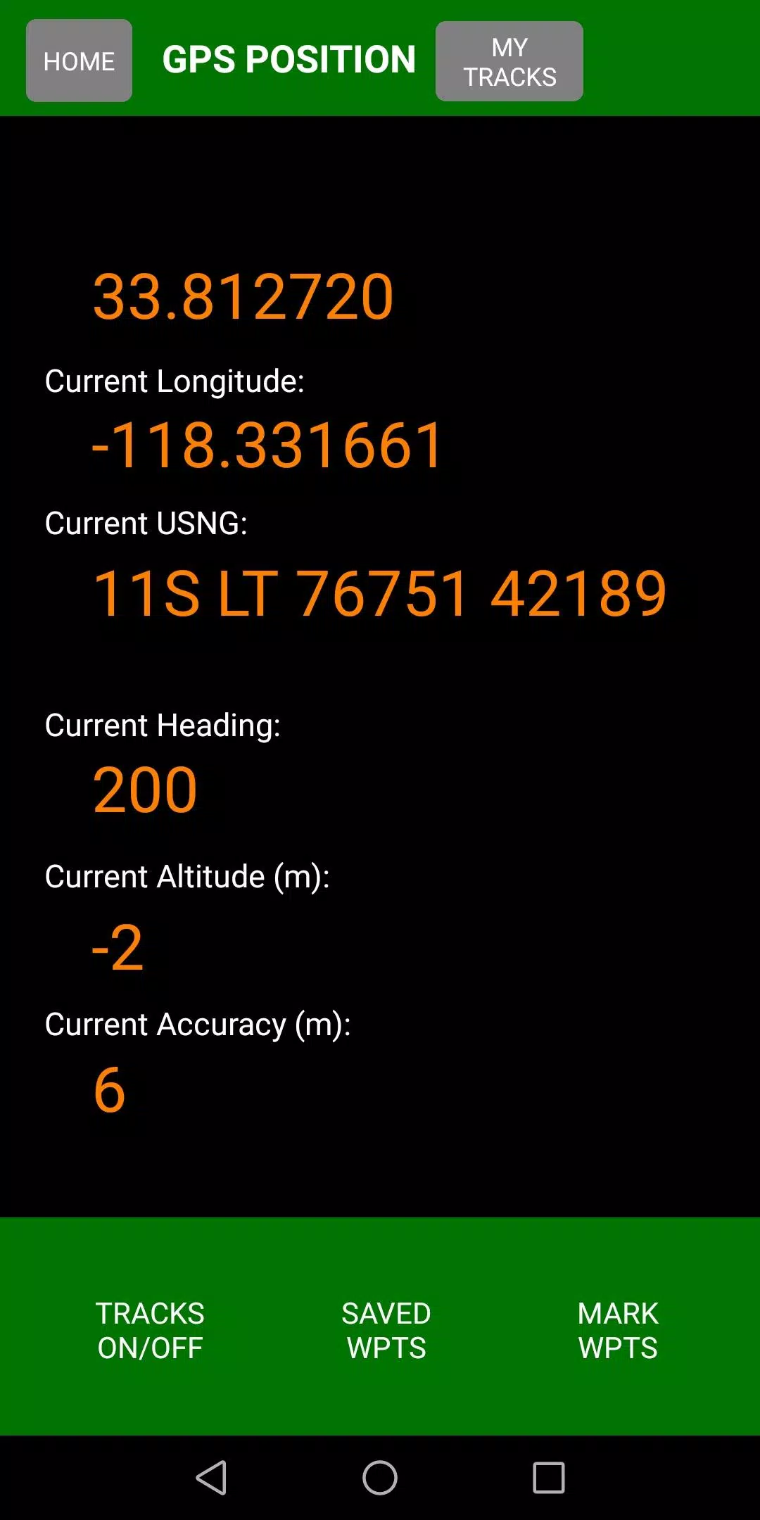
Field reliability is a priority. CERT Surveyor records tracks and waypoints locally when offline and synchronizes them automatically once a connection is restored, allowing crews to operate in limited-coverage environments. The app includes settings to manage GPS sampling and background operation to reduce battery drain, and interface contrast and icon sizing options assist readability for users working in varied lighting. Error handling is designed to keep data integrity intact, with local backups of mission projects until successful upload or export.
Collected data is intentionally compatible with common mapping workflows. Exports in KML and GPX include timestamps and user-entered metadata so analysts can perform route reconstruction, create coverage maps, or feed data into GIS systems for spatial analysis. The companion account provides a secure place to centralize inbound files for review and reporting, letting program leads assemble multiple missions into a single operational record without manual transfer of device files.
CERT Surveyor is geared toward organized response teams rather than casual recreational users; teams should plan for basic account setup to take advantage of centralized uploads and leader monitoring. Advanced team features require the Team Leader Edition to unlock expanded oversight tools. Because accurate positioning depends on the device GPS and environmental conditions, responders should consider external antennas or higher-precision devices for operations where sub-meter accuracy is essential.
CERT Surveyor remains a practical, focused utility for CERT units and larger response groups that need a reliable mobile map tool for situational awareness, post-incident reporting, and straightforward GIS integration.