
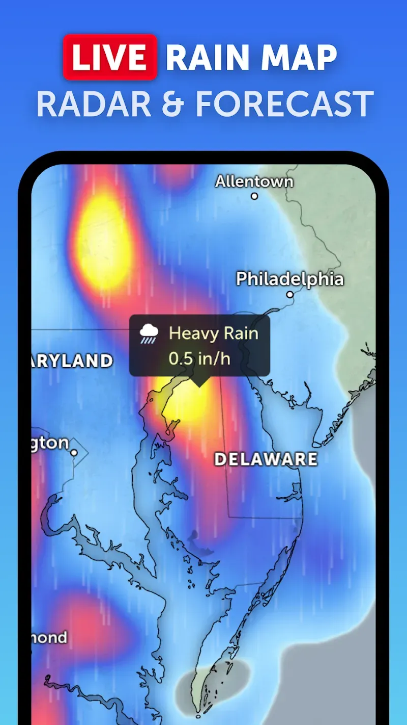
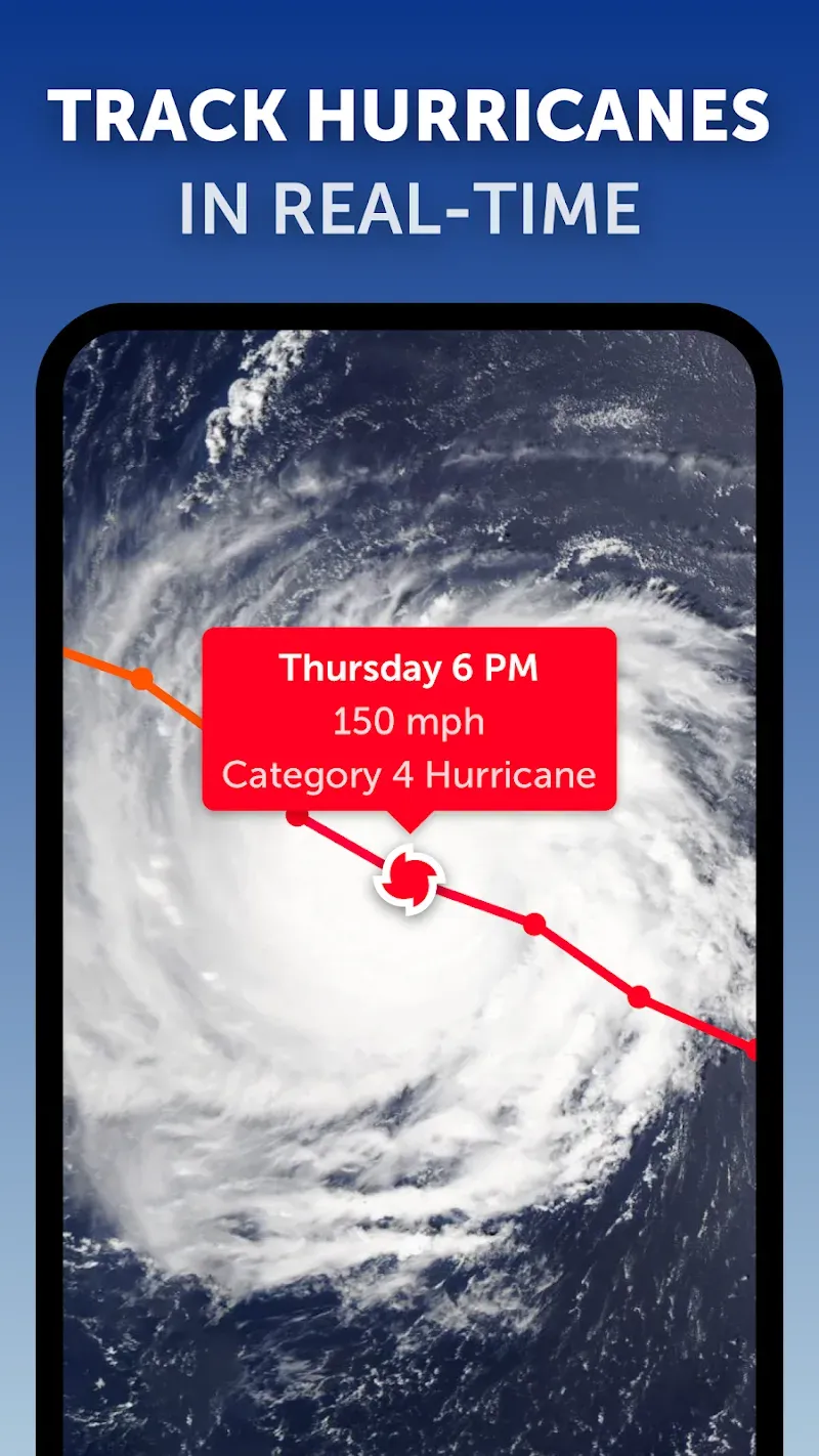
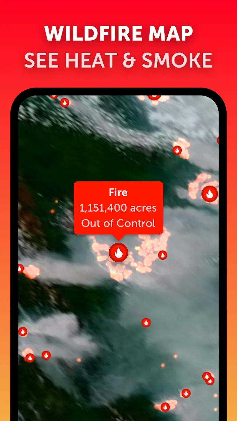
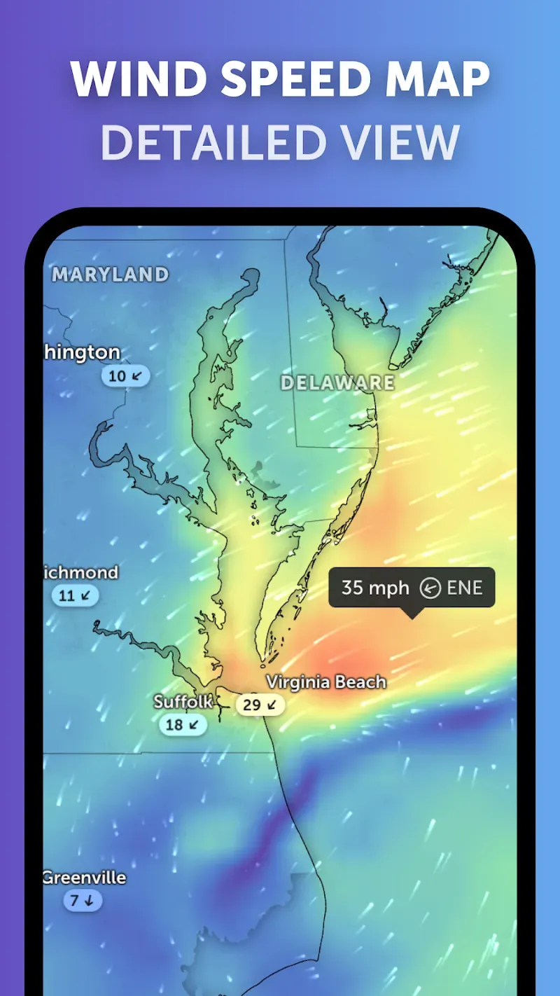
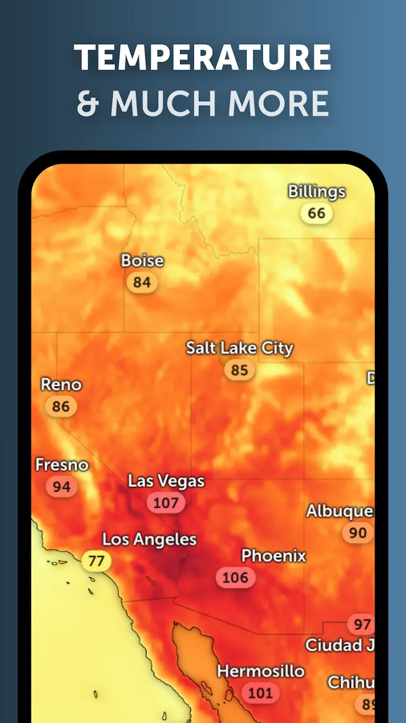
Zoom Earth delivers high-resolution satellite imagery and near-real-time weather maps that make it simple to explore Earth from your Android device. With fast zooming, historical overlays, and live storm tracking, Zoom Earth helps users monitor weather, environmental changes, and global events with clarity and ease.
Zoom Earth is a mapping and visualization app built for people who need timely satellite photos and straightforward tools. It combines recent satellite captures, animated weather radar, and simple navigation so you can inspect locations, compare timeframes, and follow storms without a steep learning curve.
The app fetches satellite and radar feeds from public and private sources, then stitches sequences into a smooth visual experience. Users start by searching or tapping any spot on the globe, then use pinch and swipe to zoom and pan. Overlays and opacity sliders make it simple to compare imagery types and highlight specific data.
Zoom Earth focuses on a clean interface: a full-screen map, a compact control panel, and a timeline bar for historical data. The app scales image quality based on connection speed, balancing detail and responsiveness. On modern Android devices it runs smoothly, but you can lower imagery resolution for slower networks to preserve battery and data.
Whether you’re tracking a storm, monitoring wildfire smoke, or checking coastal erosion, the app provides practical tools:
Installation is straightforward: download and grant map permissions, then choose your preferred basemap and overlay preferences. New users should try locating familiar landmarks, then enable the radar layer and play a short animation to see the update cadence. Saved viewpoints and bookmarked locations speed up repeated checks.
Zoom Earth offers several personalization options. Adjust the update frequency for live layers, switch between satellite and hybrid basemaps, and control overlay opacity for comparison. The app also supports saving custom map bookmarks, which is useful for journalists, researchers, and weather enthusiasts who monitor the same sites regularly.
Start with the timeline feature to get a feel for update intervals. Use the overlay slider to compare cloud cover against clear-sky images. Bookmark frequently checked sites and reduce image resolution when on limited mobile data. If you need consistent monitoring, set the app to refresh live layers automatically when on Wi-Fi.
Zoom Earth brings timely satellite and weather data into an accessible mobile package. Its combination of up-to-date imagery, straightforward controls, and practical overlays makes it a useful utility for professionals and curious users alike. For anyone who needs to see what’s happening on the planet at a glance, the app is a dependable choice.