

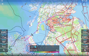

Avia Maps Aeronautical Charts is the ultimate app for pilots and aerospace enthusiasts worldwide. Whether you’re a professional pilot or simply have a passion for aviation, this app has got you covered. With its reliable and straightforward aviation maps, you can plan your flights with ease and navigate confidently while in the air. One standout feature is the ability to download relevant data for offline use. Simply select the area you’ll be flying in, and access over 65,000 airports, 9,000 navaids, and 15,000 waypoints worldwide, as well as airspace data for 62 countries. Avia Maps also provides high-resolution weather forecasts and traffic information, enhancing safety and situational awareness. Moreover, it allows for precise performance calculations and offers a user-friendly interface reminiscent of ICAO Annex 4 Aeronautical Charts. Try it for free for 30 days and consider purchasing a perpetual license or subscribing for continued access. Avia Maps is a must-have tool for aviation enthusiasts.
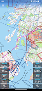
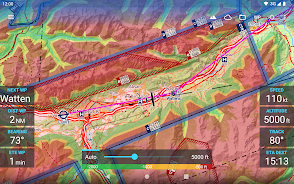
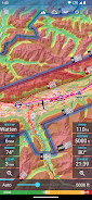
⭐️ Pre-flight planning and in-flight navigation: This app is perfect for pilots and aerospace enthusiasts who need reliable and straightforward aviation maps. It allows users to plan their flights before taking off and navigate during the flight with ease.
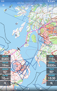
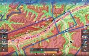
⭐️ Download relevant data for offline use: Users can choose a specific area on earth and download all the necessary data for that region. This means that even without an internet connection, users can still access important information.
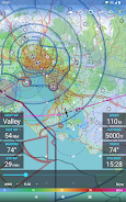
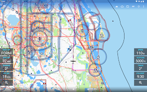
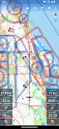
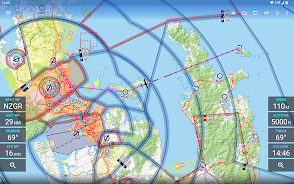
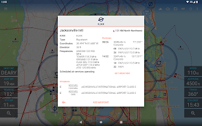
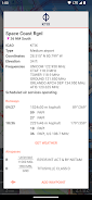
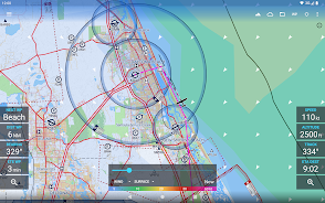
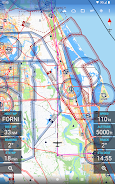
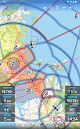
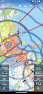
⭐️ Extensive coverage: With over 65,000 airports, 9,000 navaids, and 15,000 waypoints worldwide, this app offers a comprehensive database for pilots. It covers airspaces in 62 countries on all continents (except Antarctica), including popular countries like the United States, Canada, Europe, Australia, and New Zealand.
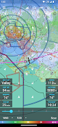
⭐️ Global weather forecasts: The app provides high-resolution weather forecasts from reliable sources like the German DWD and the US American NOAA. Pilots can access accurate map layers for cloud cover, ceiling, precipitation, and wind on the ground and at higher altitudes. The weather data is downloaded onto the device, ensuring accessibility even without cell reception.
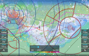
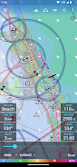
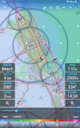
⭐️ Safety features: Avia Maps offers safety enhancements by displaying traffic information from ADS-B receivers or the SafeSky app directly on the map. This allows pilots to be aware of other aircraft in their vicinity, increasing overall safety during flights. It can also receive traffic data using the GDL90 format, making it compatible with most portable ADS-B receivers.
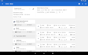
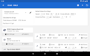
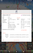
⭐️ Customizable performance calculations: The app allows users to create multiple aircraft profiles based on handbook values for climb performance, fuel consumption, etc. It uses these profiles to calculate routes, taking into account engine type and fuel burn for climb performance. This ensures accurate and efficient performance calculations for pilots.
Avia Maps Aeronautical Charts App is a comprehensive and reliable app designed for pilots and aerospace enthusiasts. With its extensive coverage, offline usability, global weather forecasts, safety features, and customizable performance calculations, it provides all the necessary tools for successful pre-flight planning and in-flight navigation. Download the trial app today and experience its full features for 30 days before purchasing a perpetual license or subscribing to the professional tier.