
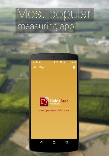
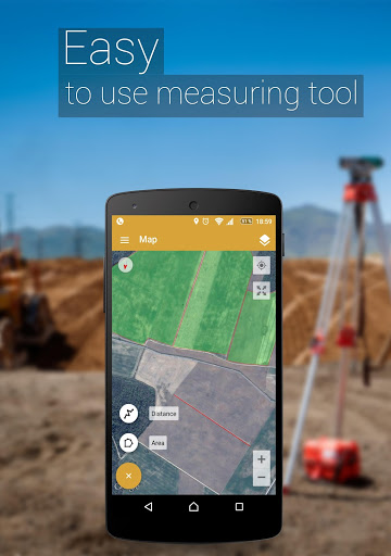
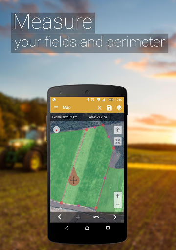
Field-mapping and land-measurement utilities for Android now include tools that make plotting and saving areas straightforward, and GPS Fields Area Measure Pro sits squarely in that niche. This app presents online maps with satellite overlays and simple drawing tools so you can mark boundaries, compute area, and export results for later use. Whether you need quick perimeter numbers for a backyard project or repeated records for multiple parcels, GPS Fields Area Measure Pro aims to keep measurements accurate and shareable from your phone.
Accurate GPS-based measurements: The app uses satellite-backed map views to calculate area, perimeter and coordinates for selected plots, helping you turn on-screen polygons into reliable numeric data.
On-screen marking and dragging: Place pins by hand and fine-tune their positions with drag gestures so boundaries sit exactly where you expect them.
Multiple export options: Saved maps and annotated plots can be exported in PDF and other common formats, and you can include coordinates and mini-images alongside the map for clearer records.
Bookmark and backup: Keep frequently used locations as bookmarks and create backups for individual plots so your measurements are safe and editable later.
Hobby and home projects: Use the app to estimate lawn or garden areas before buying materials for fencing, turf, or raised beds.
Agriculture and small farms: Mark fields and paddocks to record acreage, manage rotations, or share parcels with team members for planning work.
Property planning and maintenance: Record building setbacks, walking paths and odd-shaped patches of land when you need perimeter lengths for repair or landscaping quotes.
Enable location permissions: Grant the app access to your device location for smoother placement of pins and for accurate coordinate tagging.
Work at open sky when precision matters: Satellite-derived measurements improve with clear GPS reception; step away from tall buildings or dense canopy to reduce drift.
Use color-coding: Assign different colors to adjacent plots to make multi-plot maps easier to read at a glance and to avoid confusion when exporting.
Save interim versions: Create incremental backups before major edits because using undo will revert work to the original map and you could lose recent changes.
Can I export my measured areas to share with others?
Yes. The app supports exporting maps and the accompanying data in PDF and other formats, and you can include coordinates and small preview images when exporting.
Does the app work offline?
Map tiles and full satellite imagery usually require an internet connection, though some regions might cache tiles; for the most reliable view use the app while connected.
How precise are the area and perimeter calculations?
Accuracy depends on GPS reception and the quality of satellite imagery for your location. Placing pins manually and working in open-sky conditions will reduce positional error.
Is it possible to edit saved plots later?
Saved files can be reopened and edited, and you can add notes such as owner name or group before archiving for future reference.
GPS Fields Area Measure Pro is a practical, focused tool for anyone who needs mobile area and distance measurement with exportable records. It suits homeowners, growers and field technicians who prefer a hands-on map editor on their Android device; while absolute survey-grade accuracy requires dedicated GNSS hardware, the app offers a reliable and convenient middle ground for planning and documentation.