

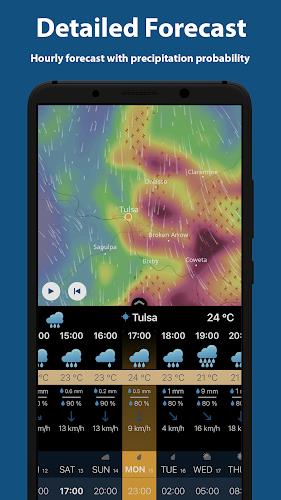
Ventusky is a weather visualization tool that maps global forecasts and live atmospheric data onto an interactive globe and flat maps, giving you a clear, graphical way to understand temperature, wind, precipitation and cloud cover. The Ventusky interface combines animated wind streams, radar- and satellite-style imagery, and layered color ramps so you can compare forecast model output with recent observations in a single view; this introduction walks through the app's organization, interaction model, and practical behaviors so you know what to expect day to day. Editors and users will find the presentation focused on readable graphics, while hobbyists and students gain access to layered meteorological detail for study or planning.
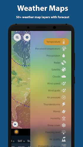
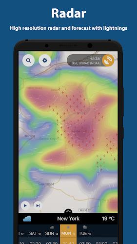
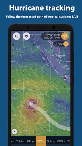
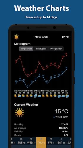
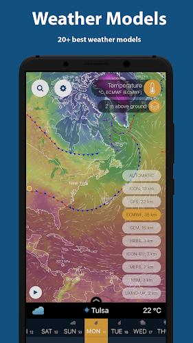
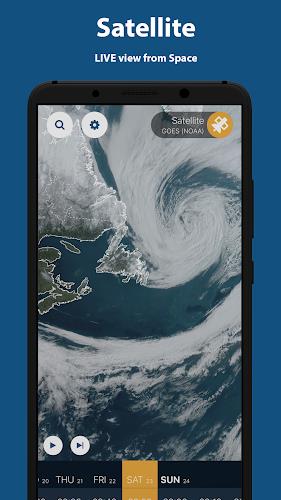
The app uses a layered map system where each meteorological parameter is treated as a separate overlay that can be stacked, adjusted and replayed over time. Wind and current fields are shown as animated streamlines that make air motion intuitive to follow, while scalar fields like temperature, pressure and precipitation appear as color-coded maps with adjustable opacity and smoothing. Satellite and radar-style tiles are integrated to provide visual confirmation of cloud patterns and precipitation echoes, and a timeline lets you step through past observations and short-term forecasts to analyze system evolution. The visualization supports multiple time steps and common meteorological units so you can inspect hourly model output or multi-hour aggregated precipitation, depending on the selected dataset.
Navigation is gesture-driven: pinch to zoom, drag to pan, and double-tap to center on a point of interest. Zooming reveals more detailed map tiles and finer grid data where available, while panning preserves your selected overlays and timeline position. A searchable location field helps you jump directly to cities, airports or coordinates, and the timeline slider includes play, pause and step controls for forward and backward review. Layer panels allow you to toggle individual datasets, reorder overlays, switch between metric and imperial units, and apply color scale presets or custom thresholds for precise reading of values in the legend.
Rather than a level-based progression, Ventusky encourages skill development through repeated exploration: users gain value by learning to read layered maps, comparing forecast output against observations, and building a mental model of typical seasonal shifts and storm behavior. The timeline offers replay value for research or planning—revisit recent storms to study intensification, or monitor how pressure systems and wind fields shift over several days. Enthusiasts can use the app as a lightweight learning tool to practice identifying frontal boundaries, wind shear patterns or precipitation trends without needing specialized software.
Visual clarity is prioritized through distinct color ramps and accessible legends so key features are readable at a glance. You can choose default parameters to load on startup, set preferred units for temperature, wind and precipitation, and adjust display brightness or contrast for daylight or night viewing. The 3D globe view provides spatial perspective for large-scale phenomena such as jet streams and tropical systems, while flat map projections are available for local detail; switches between projections preserve your overlays and timeline so you can continue analysis without resets. Color and smoothing settings help users tune the display for presentations, classroom use or field planning.
The user experience balances responsiveness with graphical richness: the app adapts rendering quality to device capability and network conditions to maintain smooth playback on mid-range hardware. Accessibility features include legible legend text, high-contrast color options and simplified interface modes that hide advanced overlays for newcomers. Performance-sensitive features such as animated streamlines and high-resolution satellite tiles are optional, so users can prioritize battery life or data usage when needed. Touch targets, search suggestions and clear labeling are designed for quick operation in the field or at a workstation.
Most live features require an active internet connection because the app pulls data from real-time meteorological sources; when offline, functionality is limited to recently cached map tiles and any saved screenshots or notes. Animated timelines and high-resolution imagery consume data and processing power during extended use, so the app provides adaptive rendering and a cache that retains recent tiles for short offline review. Continuous offline forecasting is not supported, and users planning for remote operation should prepare by saving critical views, exporting images, or making notes while connected.
Ventusky is useful for a broad audience: casual users seeking an intuitive local forecast, students and hobbyists studying atmospheric dynamics, and professionals who need a quick visual reference for wind patterns and storm motion. Its combination of animated overlays, timeline playback and adjustable visualization settings makes it practical for trip planning, outdoor event coordination and classroom demonstrations, while its customization options and measured performance tuning support both everyday use and deeper exploratory study.