WLBT First Alert Weather delivers localized, real-time weather updates, radar maps, severe weather alerts, and forecasts for your area, helping you plan your day and stay safe during storms. The app combines live radar, push notifications, and detailed hourly and daily forecasts in an intuitive mobile interface.
WLBT First Alert Weather focuses on providing accurate, timely information for users in the Mississippi area and beyond. Core capabilities include interactive radar, minute-by-minute precipitation forecasts, and emergency alerts. The app is built to help commuters, families, and outdoor enthusiasts make better decisions by delivering easily digestible meteorological data.
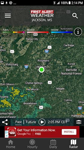
The live radar view is a central feature. It displays current precipitation, storm tracks, and radar loops that can be animated to show movement over time. Users can layer information such as severe thunderstorm warnings, tornado warnings, and flash flood advisories. Push notifications are configurable so you only receive the alerts that matter to you.
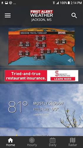
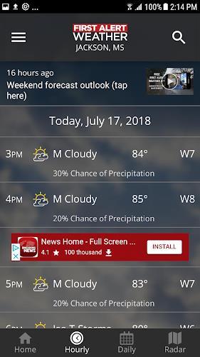
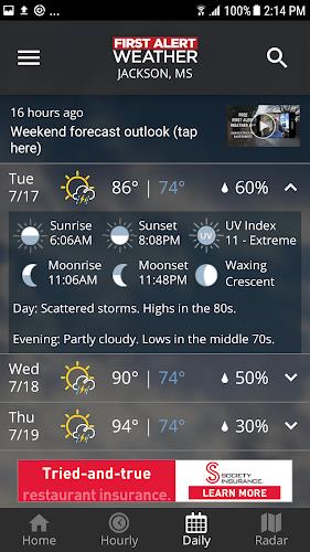
Forecast tools include hourly and multi-day predictions, temperature trends, wind forecasts, and precipitation probabilities. A short-term radar forecast gives a near-term view of incoming rain or snow, while the extended forecast helps plan trips and outdoor activities. Each forecast entry includes concise descriptions and metrics to make interpretation straightforward.
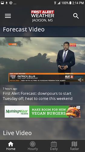
The interface prioritizes clarity. Weather maps, icons, and numerical data are arranged to reduce clutter while maintaining access to detail. Navigation is organized by tabs and maps, with quick access to current conditions, radar, and alerts. Customizable settings let you tailor units, notification types, and the default map view.
The app is optimized for modern Android devices and is designed to run smoothly without excessive battery drain. Radar tiles are cached intelligently to balance performance and data usage. On slower connections the app will reduce map detail to preserve responsiveness, while higher-end devices can display full-resolution radar imagery.
Users can personalize the experience by setting preferred units (Fahrenheit/Celsius), selecting alert thresholds, and choosing which notification types to receive. Location permissions enable automated local alerts, but manual location entry is supported for planning travel or monitoring multiple areas.
Install WLBT First Alert Weather from the app store, grant location permission if you want automated local alerts, and explore the radar map to get a sense of the interface. Add any additional locations you want to watch and configure notification preferences. The initial setup takes only a few minutes and is straightforward for most users.
WLBT First Alert Weather is helpful for morning commuters checking for road-impacting storms, parents monitoring evening thunderstorms, and event planners who need to anticipate weather for outdoor activities. Emergency managers and volunteers also benefit from the push alerts and radar playback when monitoring severe events.
WLBT First Alert Weather combines practical forecasting tools with a clear interface to support daily planning and severe weather preparedness. With customizable alerts, interactive radar, and concise forecasts, the app aims to make weather information accessible and actionable for a wide range of users.