
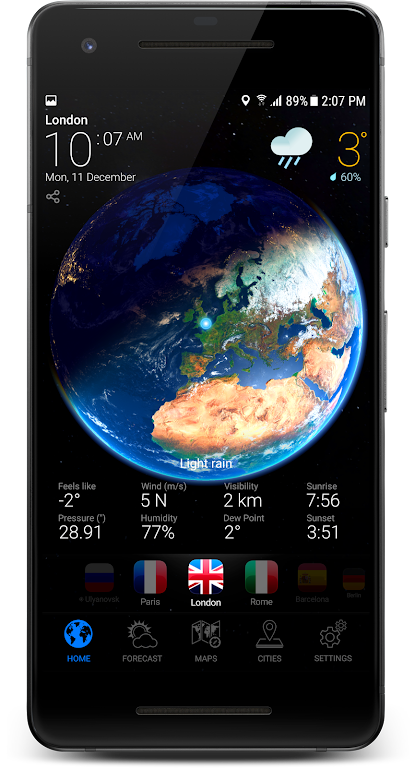
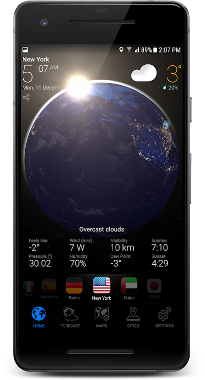
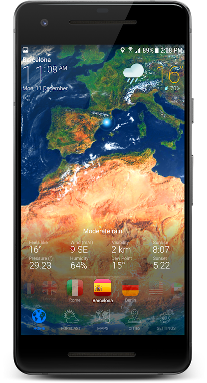
3D EARTH PRO brings a detailed, interactive globe to your Android device, combining high-resolution satellite imagery, terrain shading, and real-time data overlays for exploration and reference. It offers intuitive navigation, offline map support, and tools for measurement and annotation suited to students, travelers, and professionals.
3D EARTH PRO packages powerful mapping functions into a compact app that focuses on clarity and speed. Users get layered map data, precise elevation profiles, and configurable visual styles so maps can be tailored for presentation, study, or route planning. The app strikes a balance between visual fidelity and responsiveness.
The interface is designed for touch-first interaction. Pinch and swipe controls let you pan and zoom naturally while single-tap selection opens contextual details such as coordinates, elevation, and nearby points of interest. A compact toolbar gives quick access to layers, search, and measurement tools without obscuring the map.
For planning and analysis, 3D EARTH PRO includes features that streamline routine tasks. Use bookmarked regions to jump between study areas, create multi-point routes for trip planning, and save annotated maps for later review. The app supports importing KML/KMZ files and exporting standard waypoint formats so you can integrate maps into existing workflows.
Performance has been optimized to run smoothly on a wide range of Android devices. Dynamic tile loading keeps memory usage in check while multicore optimizations accelerate rendering on modern phones and tablets. Adjustable detail levels allow you to trade visual quality for battery life when needed.
3D EARTH PRO serves multiple users: educators preparing geography lessons, hikers plotting routes and checking elevation gain, travelers scouting destinations, and professionals needing quick spatial references. The app’s offline capabilities make it useful in the field where connectivity is unreliable.
To get the most from the app, download offline tiles for regions you will visit, use compressed export formats to keep files small, and set a detail profile that matches your device’s capabilities. Enable or disable layers to reduce visual clutter, and use the measurement tools to check both linear and area metrics before exporting data.
Begin by granting the app access to storage for offline downloads and any location permissions you prefer. Use the search field to find a city or coordinate, then tap the download icon to cache tiles. Explore the toolbar to add markers, measure distances, and switch between imagery and topographic layers. Regular updates add new data sources and quality improvements.
3D EARTH PRO is designed to be a flexible mapping companion for mobile users who need accurate visuals and practical tools without a steep learning curve. With configurable performance settings and robust export options, it adapts to fieldwork, classroom use, and everyday exploration alike.