

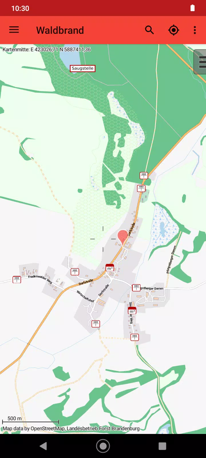
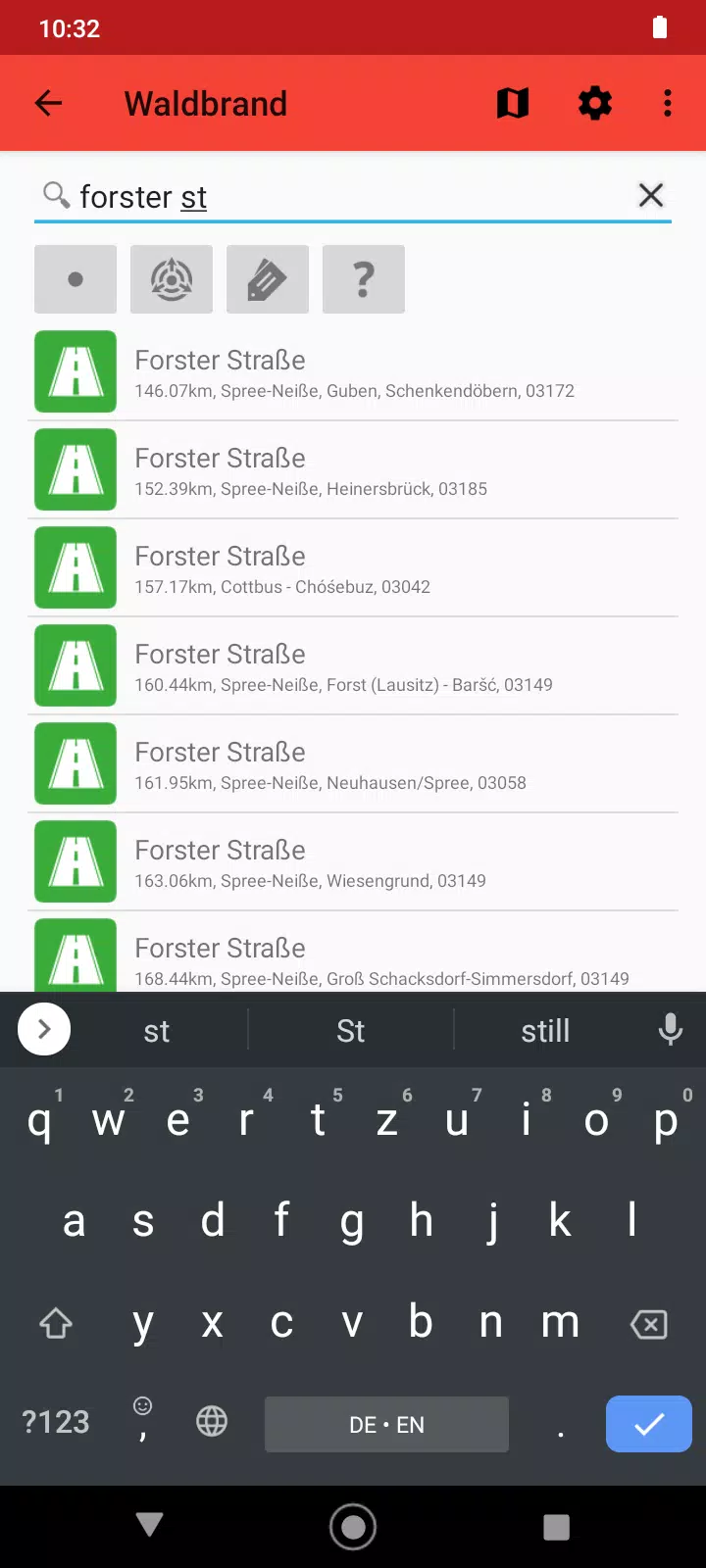
Waldbrand Brandenburg is a compact, purpose-built utility for firefighters and emergency crews in the German state of Brandenburg that maps water supply and withdrawal points and helps teams find water fast during operations. The app provides an offline-capable map, local search for places, streets and facilities, and clear GPS localization so crews can identify the nearest water source even when mobile data is unreliable. Designed for field use, Waldbrand Brandenburg emphasizes reliability, minimal distraction and practical tools that match on-scene workflows.
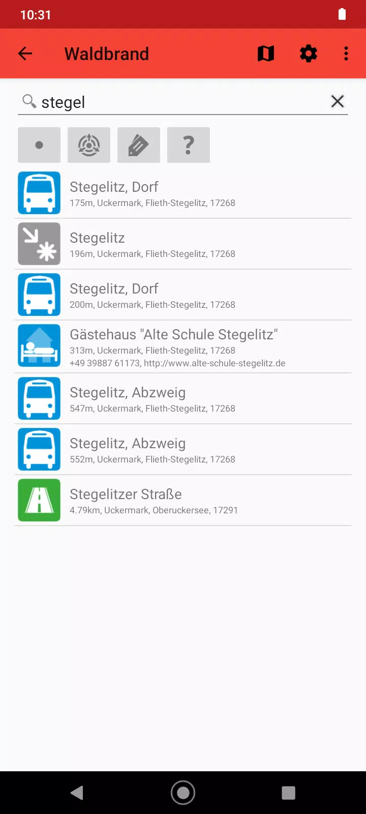
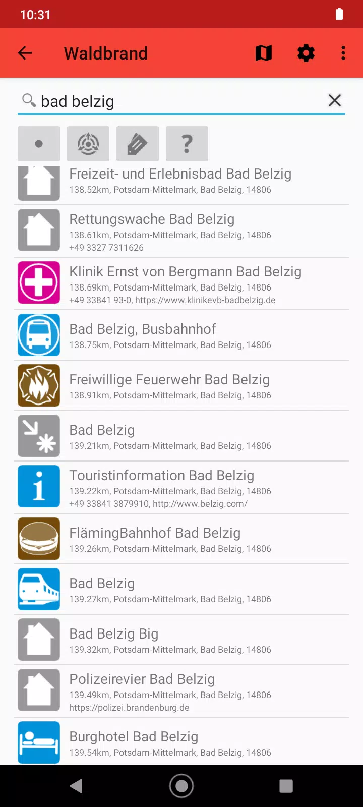
The core of the app is an offline map that can be used without a network connection: users can pre-cache map tiles for an area of operations and rely on those tiles if coverage drops. Search functionality lets you look up streets, named places and tagged facilities, and results are sorted by proximity so crews can quickly see the closest reservoirs, hydrants or refill locations. GPS localization pins your position on the map and shows distance to selected water points, helping to prioritize options when time is critical.
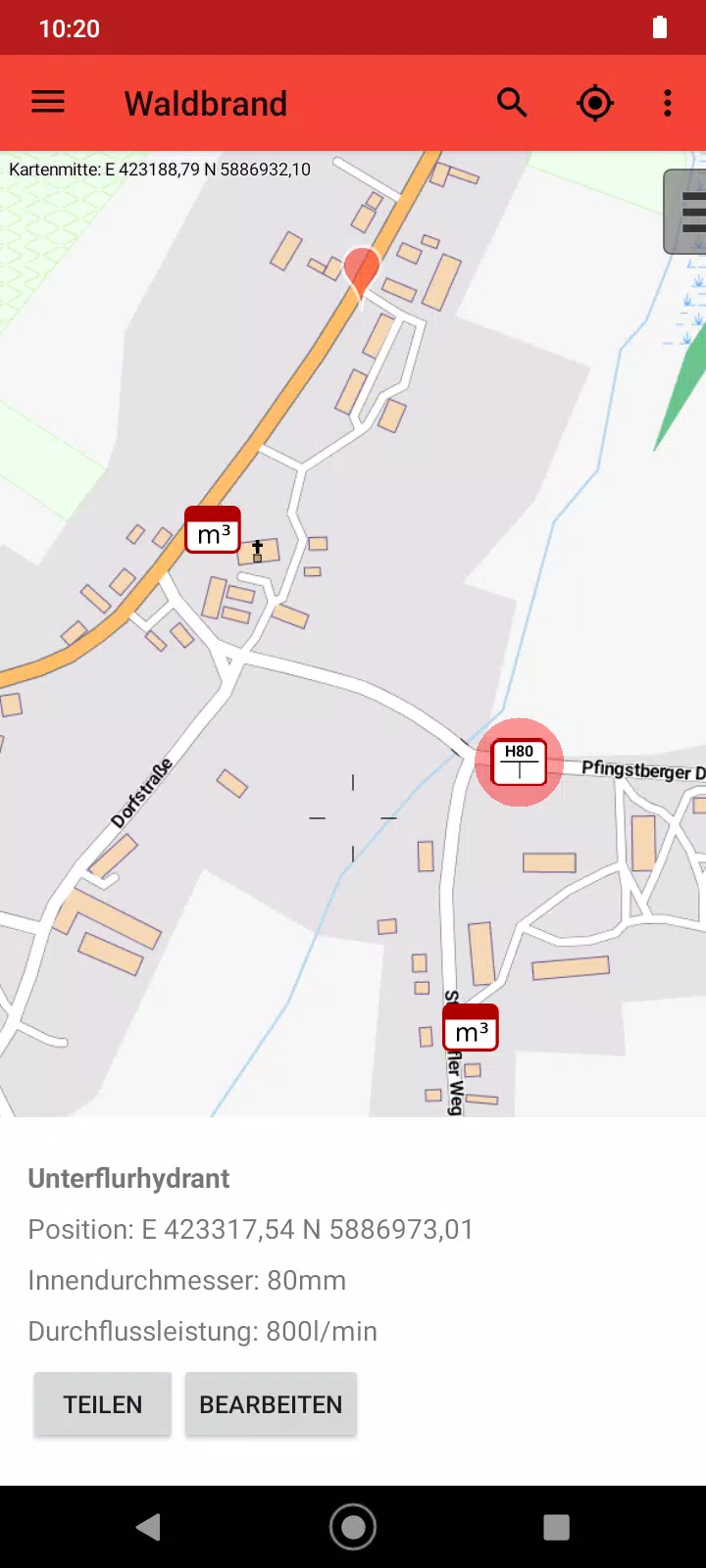
Controls are intentionally simple: pinch to zoom, two-finger drag and standard tap gestures select items and open details. Long-pressing a point will display contextual information and a brief description when available. A compact filter panel allows crews to show only specific water source types, such as open reservoirs or hydrants, and to adjust the density of displayed points to reduce map clutter during complex incidents.
Although not a game, the app includes workflow elements that mirror progression systems: as teams contribute validated points through the external editor workflow, the local database becomes richer and more dependable for subsequent deployments. The contribution process is handled outside the app to preserve operational simplicity on scene: field units collect and verify data, then submit updates via the external editor where changes are vetted and merged. Over time this creates a more complete, community-maintained dataset that improves planning and response.
The visual design favors high contrast and clear symbology so icons remain legible in bright sunlight or low-visibility conditions. Map elements are shown across multiple zoom levels with progressively more detail as you zoom in: at overview scales you see major reservoirs and rivers, while closer zooms reveal hydrants, pumps and access points. Icons and labels are sized for quick recognition and can be adjusted in the settings to match device screen sizes and personal preferences.
Waldbrand Brandenburg provides basic customization to adapt to unit needs: toggles for metric units, adjustable icon density, and the ability to prioritize certain source types. Accessibility considerations include large buttons, readable fonts and high-contrast mode for users with reduced vision. The interface avoids unnecessary menus so crews can complete common tasks—search, pinpoint, and record findings—with a few taps. The app is optimized for battery-efficient GPS sampling to preserve device runtime during extended incidents.
Offline play is core to the app: map tiles and a snapshot of water points can be stored on the device ahead of operations. When cached data is used, the app clearly indicates offline status and caches a timestamp so teams know how current the information is. Known field challenges such as weak GPS reception, low battery and variable map coverage are addressed by simple fallbacks: proximity sorting, manual coordinate entry, and app indicators that show when an area needs revalidation or additional data contribution.
Contributions are supported through an external editor workflow: field observations are collected in the app and then updated by local administrators via the external tool, which helps maintain data quality and auditability. Waldbrand Brandenburg is currently in a testing phase, so users may encounter bugs or incomplete features as the app is refined. Coverage varies with contributor activity, so some points may be missing or out of date; teams are encouraged to coordinate local updates to improve reliability.
Installation requires standard location permissions so GPS localization can function. Users should allocate storage for cached map areas before heading into operations; the app warns when pre-cache limits are reached and allows selective download of regions. Updates to the app and the underlying dataset will be rolled out as part of ongoing testing and community feedback. Waldbrand Brandenburg aims to remain a focused, resilient tool for on-scene decision support rather than a broad mapping platform.