

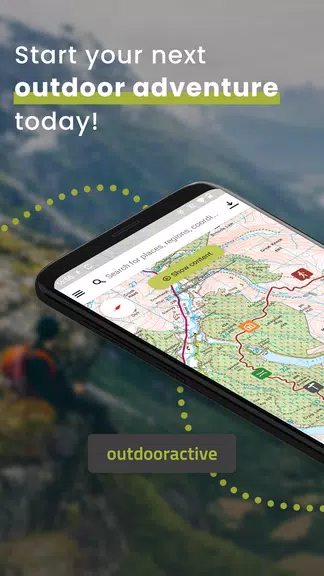

Outdooractive: Hiking & Biking is a navigation and planning app designed for outdoor enthusiasts who want reliable trail maps, route planning and turn-by-turn guidance. It combines detailed topographic maps, offline access, and social trail content to help hikers and cyclists explore confidently in a wide range of environments.
At its core, Outdooractive: Hiking & Biking provides an integrated platform for discovering routes, tracking activity and managing map data. The app supports day hikes, multi-day treks, mountain biking and road cycling, offering elevation profiles, route difficulty indicators and downloadable maps for offline use.
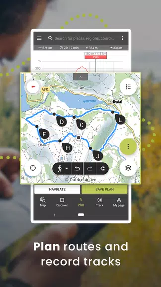
Maps are the centerpiece. You get high-resolution topographic layers, satellite imagery and specialized overlays like contour lines and slope shading. Outdooractive: Hiking & Biking lets you switch layers, measure distances and visualize elevation changes before you start. Offline caching is straightforward: select a region, download the map pack and the app will continue to navigate without mobile data.
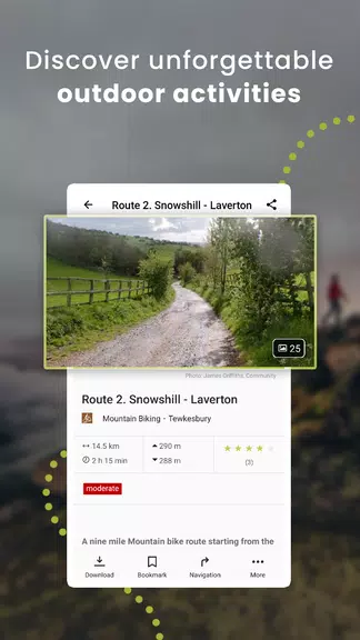
Route creation is flexible. Use the map to draw a new path, import GPX files from other services, or choose pre-made trails from the app’s directory. Each route includes waypoints, expected duration and ascent/descent statistics. You can customize waypoints, add notes or rearrange segments to tailor routes for family outings or challenging technical rides.
The design balances functionality with clarity. Primary actions are accessible from the main screen: search, map, saved routes and recording. Loading times are generally quick, and rendering of map tiles remains smooth even while panning or zooming. Battery usage is moderate during GPS tracking; enabling power-saving options reduces drain while maintaining location accuracy.
When you start a hike or ride, the tracking view shows speed, distance, current elevation and elapsed time. Turn-by-turn prompts and audible alerts keep you on course. If you stray from the route, the app recalculates a path back or marks the deviation so you can analyze where you went off track later.
Outdooractive: Hiking & Biking connects with external sensors and devices. Pair heart rate monitors, cadence sensors and bike computers via Bluetooth. The app supports standard formats—GPX, TCX and KML—so importing and exporting data to other platforms is simple. Integration with wearable devices offers glanceable stats during activity.
A built-in community provides route reviews, photos and difficulty ratings. Local contributors often add trail condition notes, seasonal warnings and suggested detours. Use these reports to refine route choice and avoid closed paths or unstable sections.
The app has a free tier with basic route discovery and live tracking. Premium subscriptions unlock advanced map layers, detailed offline regions, route planning tools and higher-quality elevation data. For frequent explorers, premium features speed up trip preparation and provide more safety-oriented map detail in remote areas.
Users praise Outdooractive: Hiking & Biking for its detailed maps, reliable offline capability and practical route tools. Hikers value the elevation profiles and terrain overlays, while cyclists appreciate route export and sensor pairing. The community content adds local knowledge that often makes the difference on unfamiliar trails.
Install the app, create an account and explore nearby routes using the search or map browser. Try the free features first, then evaluate premium options depending on how often you venture into areas without a signal. Regularly update downloaded maps to capture trail changes and condition reports.
Whether you’re planning a weekend walk or a multi-day expedition, Outdooractive: Hiking & Biking provides the mapping and planning tools that let you focus on the outdoors instead of worrying about navigation.